Hiking the Bridger Mountains in Montana: A Guide to Picturesque Trails and Breathtaking Views
Montana is a land of rugged beauty and spectacular landscapes, and few places showcase this better than the Bridger Mountains. Located in southwestern Montana, the Bridger Mountains offer some of the most scenic hiking trails in the state, attracting hikers from all over the country. In this guide, we will explore the most popular hiking trails in the Bridger Mountains, provide directions, and give you tips on how to make the most of your hiking experience.
Directions and Common Points of Origin
The Bridger Mountains are located in southwestern Montana, just north of the city of Bozeman. The most common point of origin for hiking in the Bridger Mountains is the Bridger Bowl Ski Area, located off of Bridger Canyon Road, approximately 16 miles north of Bozeman. From here, you can access several different trailheads that lead into the Bridger Mountains.
Another popular starting point for hiking in the Bridger Mountains is the town of Bridger, Montana. Bridger is located on Highway 310, approximately 20 miles east of the Bridger Bowl Ski Area. From Bridger, you can access several different trailheads that lead into the Bridger Mountains.
The Bridger Mountains offer several different hiking trails that vary in difficulty level. Whether you are an experienced hiker or a beginner, you will find a trail that suits your needs. Below, we will explore some of the most popular hiking trails in the Bridger Mountains.
- Sacajawea Peak Trail
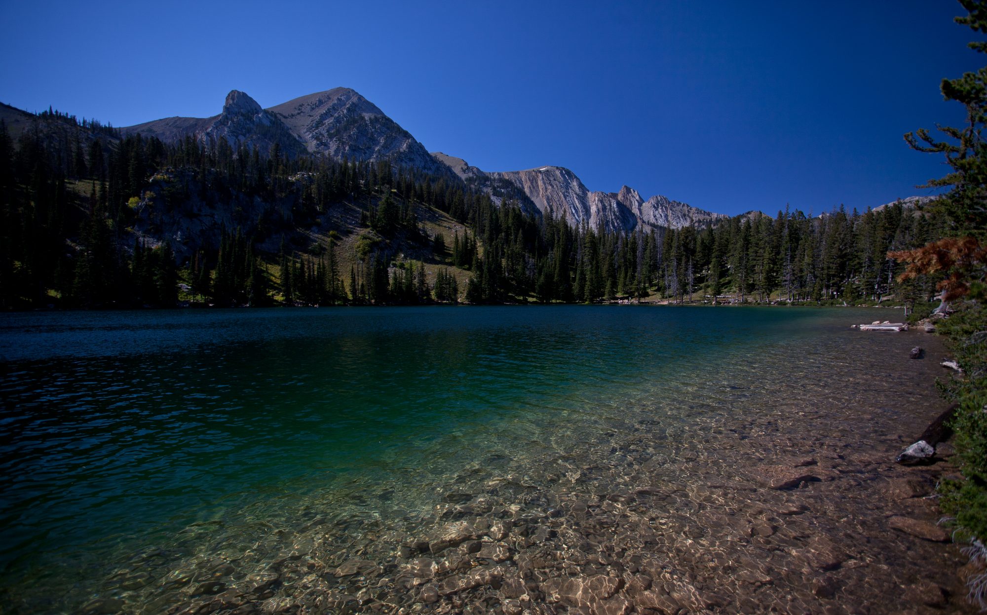
The Sacajawea Peak Trail is one of the most popular hiking trails in the Bridger Mountains. This trail offers stunning views of the surrounding mountains and valleys and is suitable for hikers of all skill levels. The trailhead for the Sacajawea Peak Trail is located at the end of Fairy Lake Road, which can be accessed from Bridger Canyon Road. The trail is approximately 4.5 miles roundtrip and takes hikers through a beautiful alpine landscape.
- Truman Gulch Trail
The Truman Gulch Trail is another popular hiking trail in the Bridger Mountains. This trail offers stunning views of the surrounding mountains and valleys, as well as a chance to see local wildlife. The trailhead for the Truman Gulch Trail is located off of Bridger Canyon Road, just a few miles past the Bridger Bowl Ski Area. The trail is approximately 4.6 miles roundtrip and takes hikers through a mix of forested areas and open meadows.
- Sypes Canyon Trail
The Sypes Canyon Trail is a challenging hike that offers stunning views of the Bridger Mountains and the surrounding valleys. The trailhead for the Sypes Canyon Trail is located off of Bridger Canyon Road, just a few miles past the Bridger Bowl Ski Area. The trail is approximately 6 miles roundtrip and takes hikers through a mix of forested areas and open meadows.
- Drinking Horse Mountain Trail
The Drinking Horse Mountain Trail is a relatively easy hike that offers stunning views of the Bridger Mountains and the surrounding valleys. The trailhead for the Drinking Horse Mountain Trail is located off of Bridger Canyon Road, just a few miles past the Bridger Bowl Ski Area. The trail is approximately 2.4 miles roundtrip and takes hikers through a mix of forested areas and open meadows.